Starting in Duluth and ending at the Canadian border, Minnesota State Highway 61 (MN 61) hugs Lake Superior's North Shore and offers dozens of scenic views along its 151-mile route. Added bonus: since the lake is in sight for most of the drive, it's nearly impossible to get lost. Although there are lots of restaurants along the way, I prefer to bring along a cooler and have a lakeside picnic of crackers and vegetables from home and smoked fish purchased along the way. Whether or not you plan on picnicking, bring a lightweight jacket. Lake breezes can be chilly, and the temperature drops as you head up north.
Besides the state parks listed below, there's an additional one that we skipped on our recent trip up the North Shore: Cascade River State Park at mile 99.8. Exact mileage numbers are from NorthShoreVisitor.com, and approximate mileage numbers are my estimates.
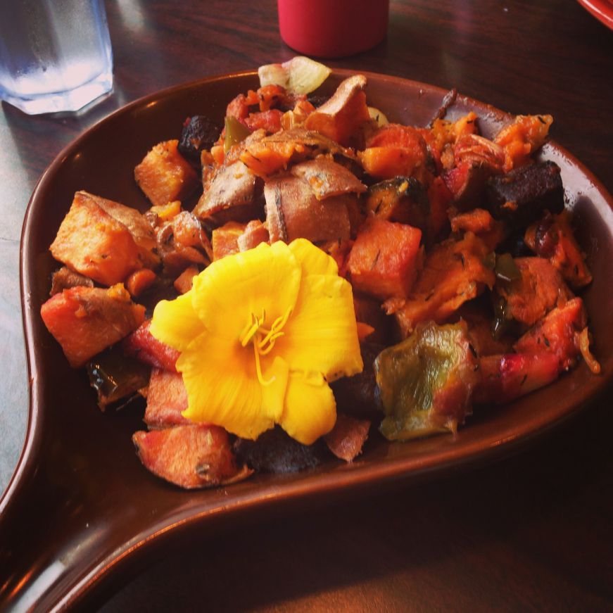
Start (Mile 0, Duluth): We began our day with red flannel hash, seven grain porridge, and a giant cinnamon roll at the Duluth Grill (read my previous review here). My other favorite Duluth breakfast spot is At Sara's Table Chester Creek Café (review here). As you leave town, make sure to take Scenic 61 (on your right) instead of the expressway to Two Harbors.
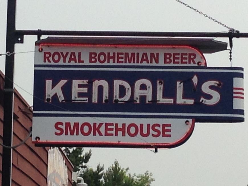
Mile 19.7: If you're planning to picnic, stop at Russ Kendall's Smokehouse in Knife River for some smoked fish. My favorite is the smoked Alaskan king salmon (it's moister than the cheaper Alaskan silver salmon), or you can try some smoked cisco or herring caught in Lake Superior. Russ Kendall's also stocks cheese, pop, and a small selection of souvenir food items like jam and wild rice. Note that there's a credit card minimum of $10.
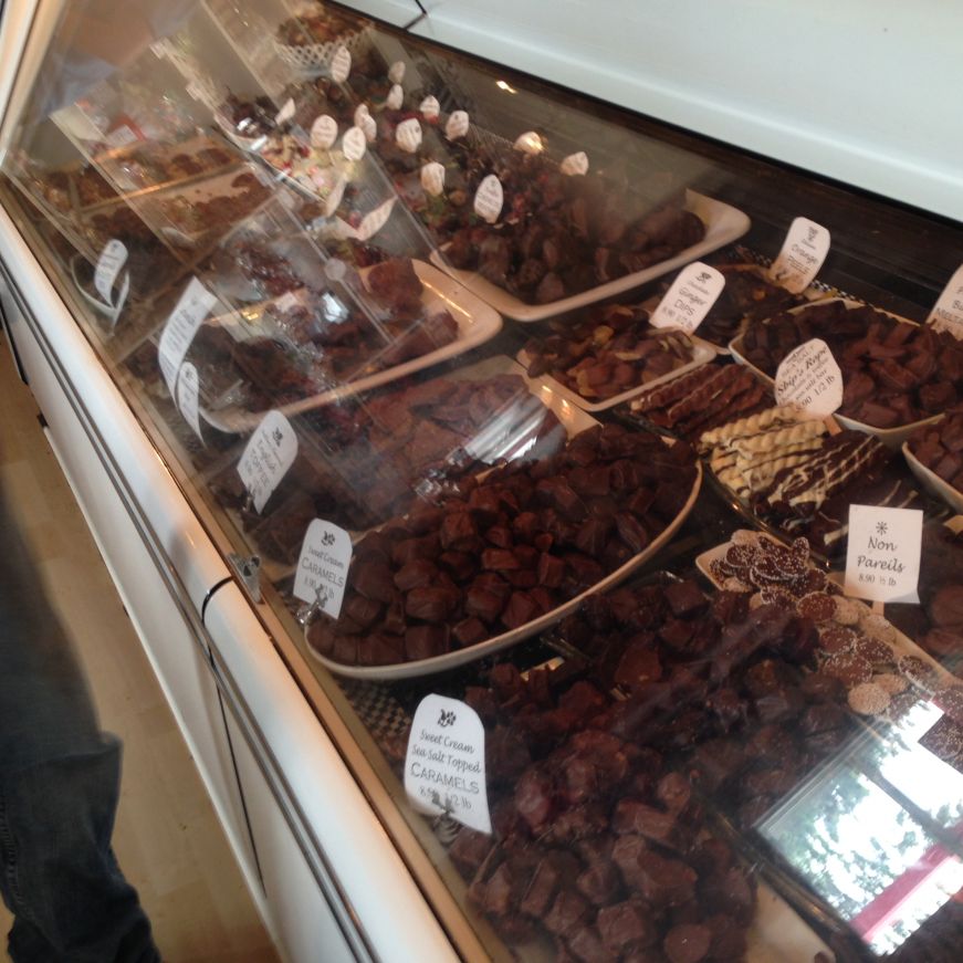
Mile 20 (approximately): Great! Lakes Candy Kitchen is less than a mile down the road from Russ Kendall's. They have the requisite fudge and saltwater taffy, but I prefer the hand-dipped chocolates in the front case. Since all of the chocolates are the same price per pound, there's no required minimum--try a piece of English toffee, a couple sea salt caramels, and a toasted coconut haystack. If you don't have a cooler to keep your chocolate from melting, you can choose from a decent selection of imported licorice or just eat your haul at the picnic tables out front.
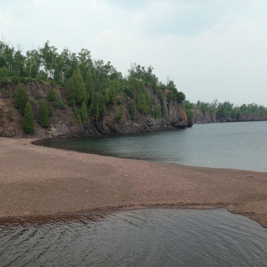
Mile 39.5: Probably the busiest state park along the route, Gooseberry Falls State Park is best known for its iconic waterfalls, but I also love the easy one-mile hike from the falls to Lake Superior and the relatively uncrowded lakeside picnic area. Parking at the highway rest stop near the falls and visitor center is free, but you need a state park vehicle permit (daily and annual permits available) to park near the picnic area.

Mile 46.0: Stop at the scenic overlook just before you get to Split Rock Lighthouse & State Park to snap a photo of the iconic lighthouse, or get up close and personal with a lighthouse tour. The lakeside picnic area (state park vehicle permit required) is my favorite along the route since the tables are right on the lakeshore.

Mile 58.5: I like Tettegouche State Park for the half-mile hike from the visitor's center to Shovel Point, which offers some great views of the lake. The highway rest stop by the visitor's center has free parking and a picnic area, although the tables overlook asphalt instead of the lake.

Mile 80.4: Temperance River State Park is another highway rest stop-style park, with free parking near the river gorge and an easy hike down to Lake Superior. The large, dark rocks by the shore retain more solar heat than you would expect, making them your best bet for lakeside sunbathing (or napping).
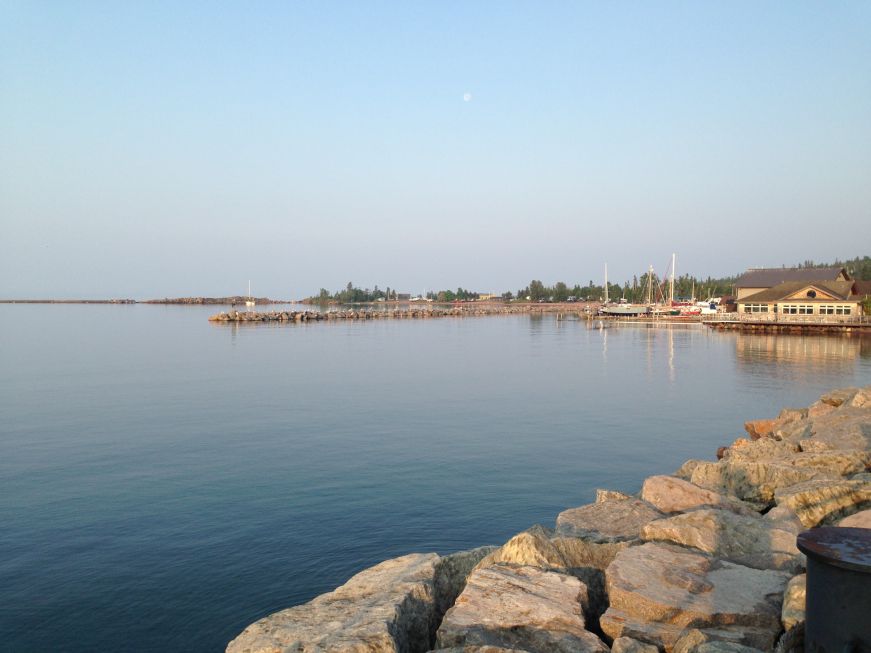
Mile 109 (approximately): With lots of restaurants and lodging options, the laid-back town of Grand Marais makes a perfect base for a long weekend on the North Shore (see my previous post for a full write up). Grab a donut at the World’s Best Donuts, pizza and a bumper sticker at Sven & Ole’s, or enjoy lakeside seating at the Angry Trout Café.

Mile 123.8: Judge C.R. Magney State Park requires a state park vehicle permit, but it's worth it to see Devil's Kettle, a churning waterfall on the Brule River (the waterfall's name comes from its mysterious nature: the river splits, with half tumbling down the rocks and the other half disappearing into a giant pothole). The hike to Devil's Kettle is less than a mile, but be forewarned that there are lots and lots steps.
Mile 145.0: Besides seven state parks, MN 61 also offers the Grand Portage National Monument. The Grand Portage was a 8.5 mile path utilized by the Ojibwe and French-Canadian fur traders that connected the Pigeon River to Lake Superior, bypassing a treacherous stretch of rapids and waterfalls. Start at the monument's heritage center to get a some background information about the Ojibwe, the fur trade, and archaeological excavations at the site. Then spend an hour or so exploring the reconstructed Historic Depot, staffed by very knowledgeable costumed interpreters. Obviously, my favorite part was the kitchen, where I got to learn what the Depot's residents were eating in the late 1700s and watch fish roasting over the hearth. There's no admission fee for the heritage center and the Historic Depot, making this the best bargain along the route.
Mile 150.8: Grand Portage State Park is the final state park along with route, with the biggest waterfall of them all--at 120 feet, the High Falls are the tallest in the state. There's free parking at the highway rest stop by the visitor's center, and a picnic area adjacent to the parking lot.
End (Mile 151.0, the U.S./Canadian border): Drive into Canada for some sightseeing, or use the helpfully signed "Last Turnaround Before Border" if you forgot your passport--you can't get back into the U.S. without it.
